Budo-Su-ngaiPadi National Park | อุทยานแห่งชาติบูโด-สุไหงปาดี

Budo-Su-ngaiPadi National Park | อุทยานแห่งชาติบูโด-สุไหงปา

อุทยานแห่งชาติบูโด-สุไหงปาดี


                มีเนื้อที่ประมาณ 213,125 ไร่ หรือ 341 ตารางกิโลเมตร ครอบคลุมพื้นที่อำเภอบาเจาะ อำเภอรือเสาะ อำเภอยี่งอ อำเภอเจาะไอร้อง อำเภอระแงะ อำเภอสุคิริน จังหวัดนราธิวาส อำเภอรามัน จังหวัดยะลา และอำเภอกะพ้อ จังหวัดปัตตานี ภูมิประเทศส่วนใหญ่เป็นเทือกเขาสลับซับซ้อน โดยมียอดเขาตาเว เป็นยอดเขาสูงที่สุดสูง 548 เมตรจากระดับน้ำทะเล สภาพป่าไม้สมบูรณ์ทอดเป็นแนวทิศเหนือ-ทิศใต้ มีพันธุ์ไม้หายากสำคัญของประเทศไทย โดยเฉพาะปาล์มบังสูรย์และใบไม้สีทองหรือ ย่านดาโอ๊ะ เถาเลื้อยขนาดใหญ่ ใบไม้เอกลักษณ์ของอุทยานฯ แห่งนี้เลย

Budo-Su-ngaiPadi National Park

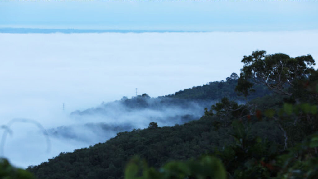
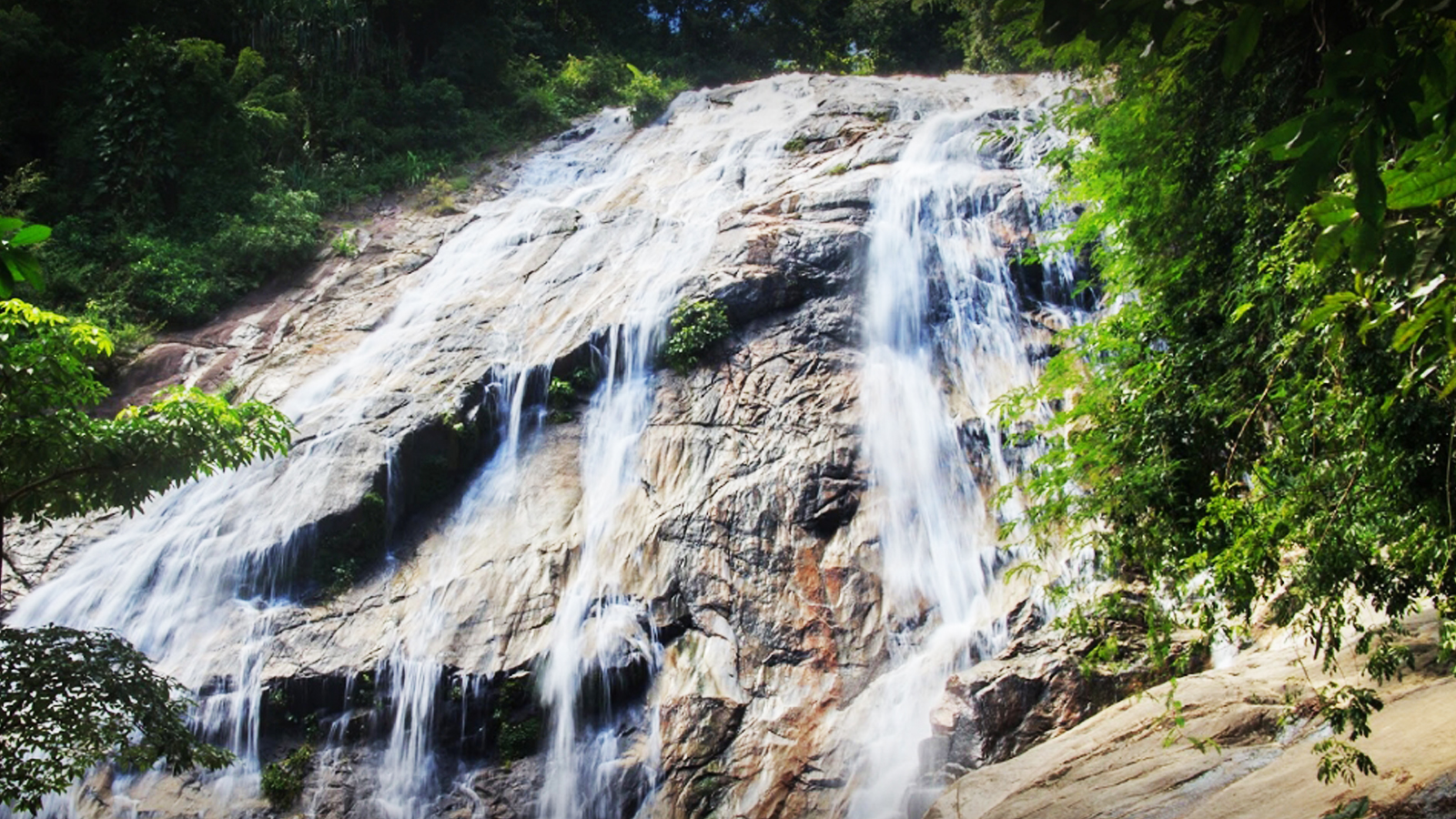
It has an area approximately 213,125 rai or 341 square kilometers covering the area of Bacho, Rueso, Yi Ngo, Cho-Airong, Ra-Ngae, Sukhirin District, Narathiwat Province, Raman District, Yala Province, and Khok Pho District, Pattani Province. The geography is mostly mountainous complexes with Tawey’s peak, which is the highest peak at 548 meters above sea level. The fertile forest spans from the direction of North-South. There are important rare plants of Thailand, especially Bang Sun palm trees, golden leaves or Yan Da Oh, the large vines, and the unique leaves of this national park.